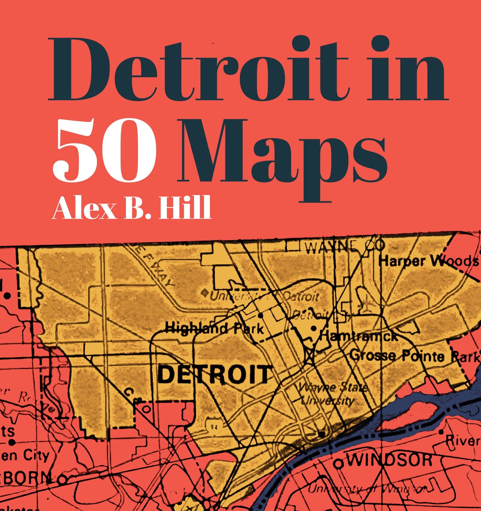
Detroit in 50 Maps
$30.00
Please select all options.
"Detroit in 50 Maps" by Alex B. Hill
There are thousands of ways to map a city. Roads, bridges, and railways help you navigate the twists and turns; topography gives you the lay of the land; population growth shows you its changing fortunes. But the best maps let you feel what that city's really like. Detroit in 50 Mapsdeconstructs the Motor City in surprising new ways. Track where new coffee shops and coworking spaces have opened and closed in the last five years. Find the areas with the highest concentrations of pizzerias, Coney Island hot dog shops, or ring-necked pheasants. In each colorful map, you'll find a new perspective on one of America’s most misunderstood cities and the people who live here.
A conversation starter for Detroiters past, present, and future, Detroit in 50 Maps is for anyone keen to understand the city in new and surprising ways.
Alex B. Hill is GIS Director at Wayne State University and Project Director of the Detroit Food Map Initiative, which has been mapping nutritional access of Detroit grocery stores, corner stores, and farmers markets since 2011.
Hardcover : 144 pages